Hiking Map Slovakia
iPhone app
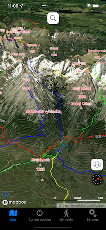
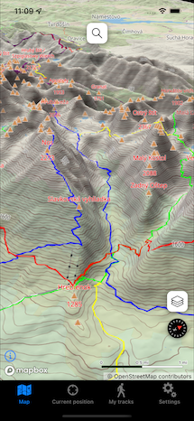
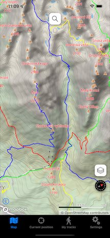
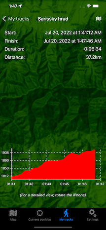

Application displays a detailed offline topographical map with hiking trails, points, hills, etc. You can view it in 2D and 3D mode, now also with a satellite base map. You can record your tracks and the application will then render them on the map, calculate various statistics and height profiles. Recorded tracks are saved in GPX format and you can easily transfer them to your computer.
Main features:
- offline topographical map with hiking trails, points, hills, etc.,
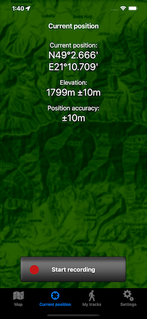
- current position on the map,
- 3D map,
- hybrid satellite map,
- track recording,
- search on the map,
- indicator of the iPhone's current orientation,
- GPS coordinates, altitude and GPS accuracy display,
- recorded tracks' statistics - distance covered, time, elevation,
- tracks' height profiles rendering,
- recorded tracks are saved in GPX format for further processing and can be easily transferred to the computer via iTunes,
- track recording automatic shutdown after a specified time (e.g. 2 hours),
- track recording automatic shutdown if the battery level drops below a certain level,
- GPS accuracy setting (lower accuracy extends battery life).

Map in this application was generated based on data from the OpenStreetMap project and this data is under (c) OpenStreetMap contributors. Map design is under (c) Daniel Tekel.
Important notice: The map in this application does not contain all existing hiking trails and points (currently about 90% of the trails are covered)! For this reason, this application certainly cannot substitute an official hiking map. The author of the application assumes no responsibility for inaccuracies in the map. Terms of use of the app, Privacy Policy.